The address
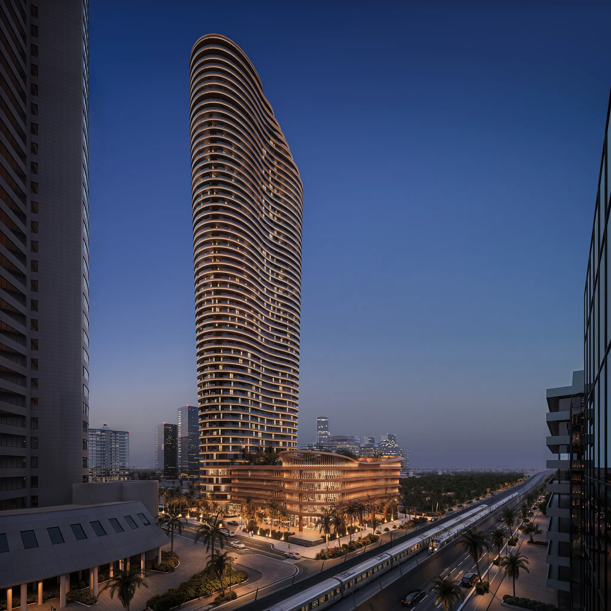
Burj Urubah
The project at the centre of a connected North Riyadh district.
Building the district
Descending into North Riyadh
Al Yasmin · North Riyadh
A sculpted view of the district around Burj Urubah. Choose a landmark, or drag the city to read the address from another side.
Drag to orbit · Scroll to zoom · Select a landmark
The address
The project at the centre of a connected North Riyadh district.
~2 min walk
Healthcare
~2 min
An established healthcare landmark in the project’s immediate context.
Healthcare
~4 min
Specialist care within the surrounding North Riyadh district.
Lifestyle & retail · future
~6 min
A future destination west of the tower, shown for geographic context.
Business district
~12 min
Riyadh’s financial district, south along King Fahd Road, on the map’s horizon. Towers follow their mapped footprints and heights; their forms are simplified.
Business · review point
~5 min walk
A proposed local business reference; timing remains subject to review.
Neighbourhood · review point
~5 min walk
A proposed nearby daily-life reference; timing remains subject to review.
Blue Line terminus · elevated
~9 min by car
The verified elevated northern terminus on King Fahd Road; drive timing remains subject to review.
Blue Line · elevated
~5 min by car
The verified elevated Blue Line station beside the North Riyadh hospital district.
Public realm · review point
~8 min by car
A proposed green-space reference shown to clarify the wider neighbourhood setting.
© OpenStreetMap contributors · 3D form is illustrative
The 3D view is unavailable. Place details remain available below.